
search
Los Angeles elevation map
Map of Los Angeles elevation. Los Angeles elevation map (California - USA) to print. Los Angeles elevation map (California - USA) to download. The elevation of a city or town is an important geographical statistic that denotes how high or low that location is in relation to sea level. Many major cities around the United States are located in coastal areas that tend to have low elevations, and Los Angeles is the perfect example. Los Angeles elevation map shows that Los Angeles has a higher mean elevation.
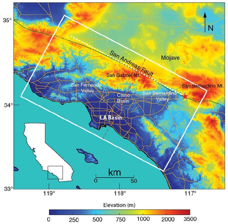
Los Angeles has an average elevation of around 285 feet (87 m), but the city has very different elevations at various points (as its shown in the map of Los Angeles elevation map). For example, the highest point in the city of Los Angeles is Mt Lukens. Located in Los Angeles County in the northeastern part of the city, Mt Lukens has an elevation of 5,075 feet (1,547 m). Meanwhile, the lowest point in Los Angeles is the Pacific Ocean itself, which is at sea level.
The mean elevation in the map of California is 2,900 feet (880 m), making it the 11th highest state in terms of mean elevation. When compared to the state average, Los Angeles elevation is much lower, but is not the lowest point in the state. The point with the lowest elevation in all of California is Badwater Basin, which is also the lowest point in the entire United States with an elevation of 279 feet (85 m) below sea level. The highest point in California is Mount Whitney, which is the highest mountain of the United States excluding Alaska and has an elevation of 14,505 feet (4,421 m).