search
110 freeway map
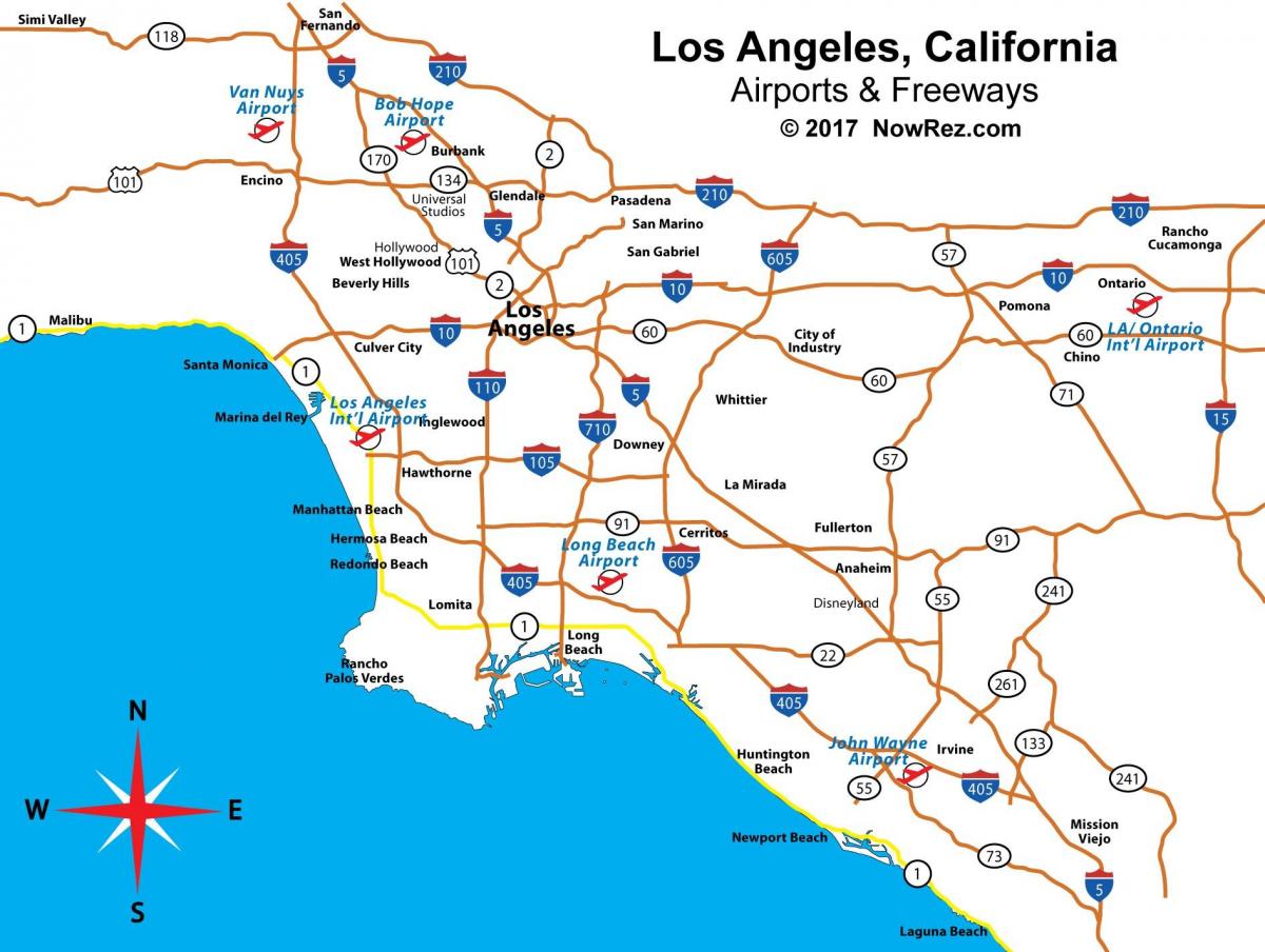
Map of 110 freeway. 110 freeway map (California - USA) to print. 110 freeway map (California - USA) to download. The 110 freeway connect the San Pedro community with Downtown in Los Angeles map, freeway 110 follows the Harbor Freeway north from State Route 47 to Interstate 10 (Santa Monica Freeway). A heavily traveled route, I-110 serves as a major commuter route through the heart of South Los Angeles as well as a commercial corridor to the Ports of Los Angeles and Long Beach via the Vincent Thomas Bridge.
Leaving the Four-Level Interchange in Downtown Los Angeles map, California 110 freeway turns along the Arroyo Seco Parkway (Pasadena Freeway). The historic parkway travels northeast toward Pasadena with an entirely different look and feel. Gone are all of the innovative transit and high occupancy vehicle lanes that were featured on freeway 110. Much of this freeway has seen little change since its original 1940s construction. Arroyo Seco Parkway sees very short deceleration lanes for exits, stop signs on the on-ramps, narrow or nonexistent shoulders and limited sight distances.


