search
Port of Los Angeles map
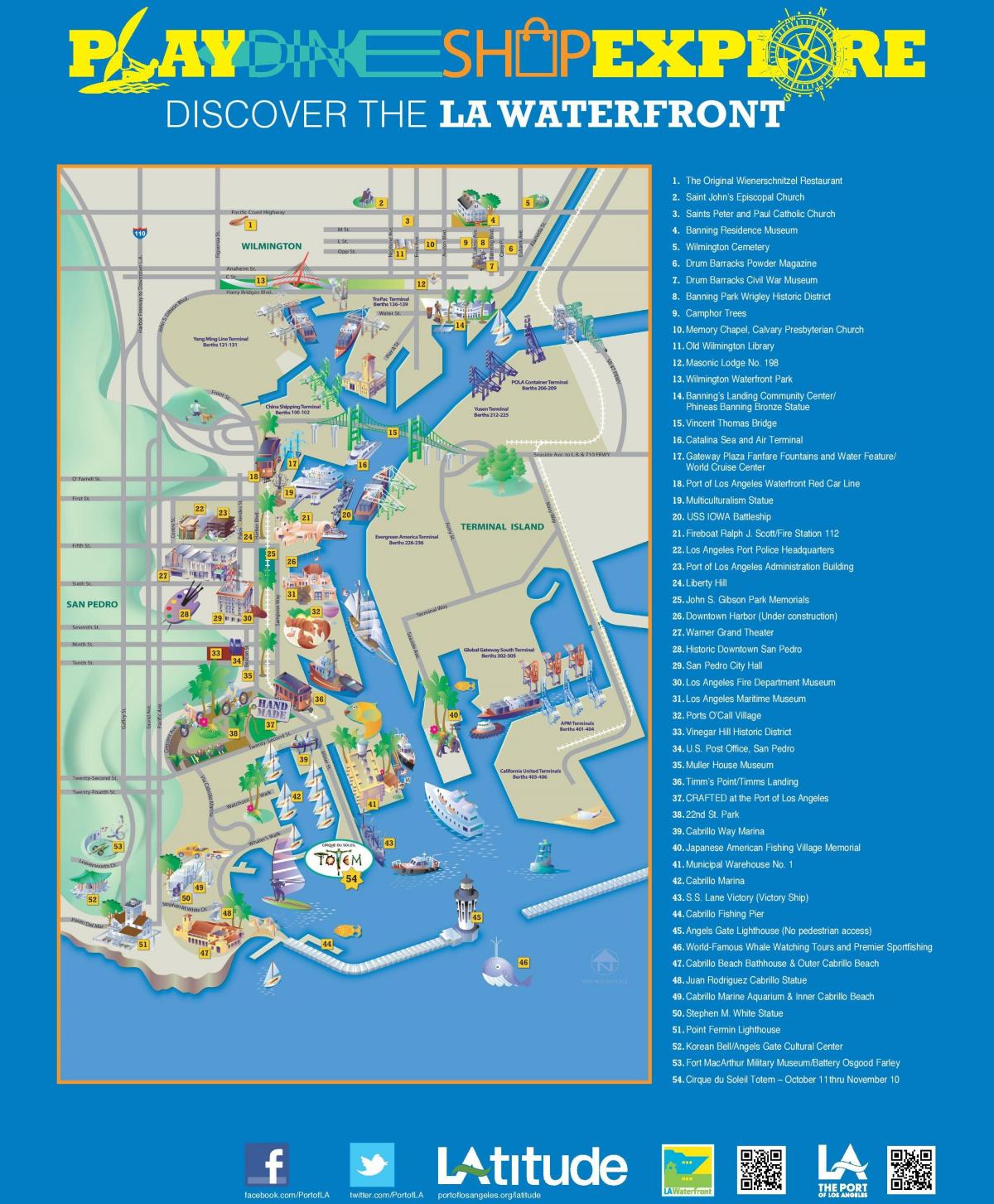
Map of port of Los Angeles. Port of Los Angeles map (California - USA) to print. Port of Los Angeles map (California - USA) to download. The port of Los Angeles is America Port, the nation premier gateway for international commerce and the busiest seaport in the Western Hemisphere. The port of Los Angeles is located in San Pedro Bay map, 25 miles south of downtown Los Angeles, the Port encompasses 7,500 acres of land and water along 43 miles of waterfront. Handling diverse commodities from avocado to zinc, the Port of Los Angeles features both passenger and cargo terminals, including cruise, container, automobile, breakbulk, dry and liquid bulk, and warehouse facilities that manage billions of dollars worth of cargo each year. Currently in the midst of a multi-year, $2.6 billion infrastructure investment program aimed at raising the bar for cargo efficiency, the Port is also focused on new technologies to enhance digital information flow throughout the supply chain.
The port of Los Angeles is one of the world busiest seaports and leading gateway for international trade in North America and has ranked as the number one container port in the United States each year since 2000. In 2018, the port of Los Angeles moved more cargo than in any time in its 113-year history—9.5 million Twenty-Foot Equivalent Units (TEUs)—the most cargo moved annually by a Western Hemisphere port. And in 2019, despite international trade tensions and tariff uncertainties, the Port of Los Angeles map moved near-record cargo with a total of 9.3 million TEUs, just short of the second-best year.
The port of Los Angeles was officially founded in 1907, the port of Los Angeles map has become one of the premier seaports of America and is considered as southern California gateway to international commerce. The Port of Los Angeles was discovered as the ‘Bay of Smokes’ by Juan Rodriguez Cabrillo in 1542. The port celebrated its 50th anniversary in 1957 and centennial in 2007.


