
search
105 freeway map
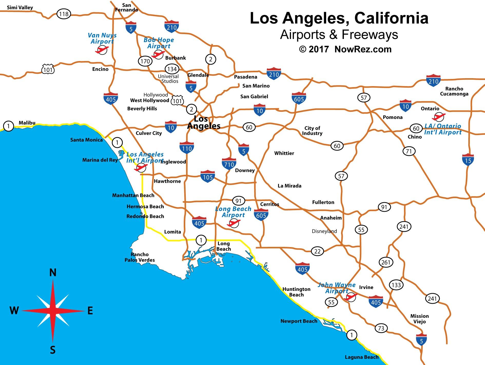
Map of 105 freeway. 105 freeway map (California - USA) to print. 105 freeway map (California - USA) to download. The 105 freeway runs along Imperial Highway from Norwalk to El Segundo. The Interstate touches a multitude of cities including El Segundo, Hawthorne, Los Angeles, Lynwood, Paramount, Downey, Bellflower, Norwalk, and a variety of unincorporated areas of Los Angeles county map. The freeway is a major connector to the Los Angeles International Airport and intersects four major LA County interstates, including the 405, 110, 710, and 605.
Poverty is high in the areas surrounding the 105 freeway, where over 884,500 people call home in LA map. Of the 884,500, roughly 19.3% of those people live in poverty, coming out to around 170,900 people. It is not to say that CalTrans and the developers and planners of the 105 freeway were trying to take advantage of the people in these neighborhoods, but they certainly did not understand or seem to care about the consequences when first implementing such a plan.